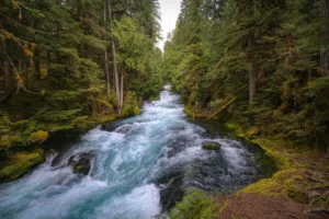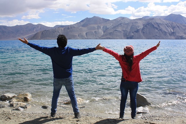
Pangong Tso or Pangong Lake in the Himalayas is situated at an elevation of 4,225 m (13,862 ft).
It is 134 km long and extends from Ladakh India to the Tibetan Autonomous Region, China.
Pangong Lake is one of the top tourist places in the Ladakh union territory or Jammu and Kashmir state( till 2019) now it is UT.
Approximately 60% of the length of the lake lies within the Tibetan Autonomous Region. The lake is 5 km wide at its broadest point. Altogether it covers 604 km.
History

Historically, the lake is viewed as being made up of five sub lakes, which are connected through narrow water channels. The name Pangong Tso only applied to the western most lake that is mostly in Ladakh.
The main lake on the Tibetan side is called Tso Nyak (“middle lake”). It is followed by two small lakes called Rum Tso. The last lake near Rutog is called Nyak Tso again.
There are different meanings of both Pangong Tso and Tsomo Nganglha Ringpo. The Ladakh government website indicates “Pangong Tso” is Tibetan meaning “high grassland lake”, however, travel books from decades back say Pangong means “hollow”.
Facts
Length | Width
Pangong Lake is about 134 km long and 5 km wide at its broadest point. Altogether it covers 604 km.
Aquatic Life
The eastern part of the lake is fresh, while the western part of the lake is saline, The water of the lake has very low micro-vegetation.
The Guides report that there are no fish or other aquatic life on the Indian side of the lake.
On the other hand, visitors see numerous ducks and gulls over and on the lake surface. There are some species of scrub and perennial herbs that grow in the marshes around the lake.
The lake acts as an important breeding ground for a variety of birds including a number of migratory birds. During summer, the Bar-headed goose and Brahmini ducks are commonly seen here.
The region around the lake supports a number of species of wildlife including the kiang and the marmot.
Formerly, Pangong Tso had an outlet to Shyok River, a tributary of the Indus River, but it was closed off due to natural damming.
Two streams feed the lake from the Indian side, forming marshes and wetlands at the edges.
Strand lines above the current lake level reveal a 5 m (16 ft) thick layer of mud and laminated sand, suggesting the lake has shrunken recently in geological scale.
On the Indian side, no fish have been observed, however, in the stream coming from the South-eastern side (Cheshul nalla), three fish species (Schizopygopsis stoliczkae, Tibetan stone loach, and Triplophysa gracilis) have been reported (2011).
The low biodiversity has been reported as being due to high salinity and harsh environmental conditions. Bird Islet is the most famous island in Pangong Tso.
During winter the lake freezes completely, despite being saline water. It is not a part of the Indus River basin area and is geographically a separate landlocked river basin.
Travel Tips
An Inner Line Permit is required to visit the lake as it lies on the Sino-Indian Line of Actual Control.
While Indian nationals can obtain individual permits, others must have group permits (with a minimum of three persons) accompanied by an accredited guide.
The tourist office in Leh issues the permits for a small fee. For security reasons, India does not permit free will boating.
China National Highway 219 passes by the eastern end of Pangong Tso. The lake can be accessed by driving 12 km from Rutog or 130 km from Shiquanhe.
Tourists can rent a boat on the lake, but landing on islands is not allowed for protecting the breeding ground of the birds. There are several restaurants along the shore.
Suggested: Kashmir Chinar Tree